My Planet Maps
Usage based Subscriptions
Choose the solution best adapted for your business and projects
Plans and Pricing
Plan
Per product
Pricing
(in € VAT excl. - invoiced monthly)
Number of concurrent users
Geoservices
(WMTS, WMS, WCS)
Connection to your GIS platform
(ArcGIS, QGIS)
Annual Updates
User Guide
Email Support
(Within 48h)
Regular
Your starter kit
129 € per month
1
✓
✓
✓
✓
✓
Heavy
Your project solution
299 € per month
5
✓
✓
✓
✓
✓
Scripting
Your enterprise solution
399 € per month
10
✓
✓
✓
✓
✓
Custom
Your customized offer
Contact us
10+
✓
✓
✓
✓
✓
Special Limited Offer (Until 31/03/2022)
Benefit from a one-month reduction by choosing the Enterprise plan: 5,988€ now 5,489€ for the first year!
FAQ
How do I access myplanetmaps?
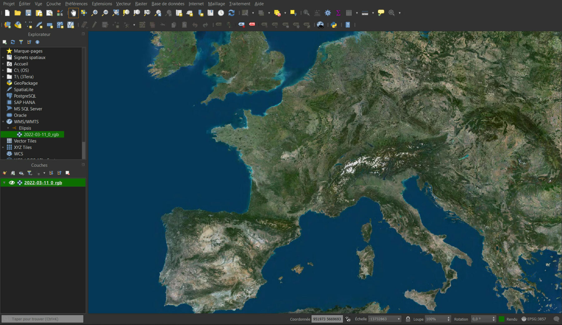
Access myplanetmaps through your own web browser, or stream the data through GIS applications such as ArcGIS Desktop, QGIS or your business application, based on standardized OGC WMS/WMTS/TMS services.
How often is new content added to myplanetmaps?
New maps are uploaded to myplanetmaps on a regular basis. Benefit from fresh aerial photography of France every quarter and updated satellite imagery every year, If new content is added to the package(s) to which you subscribe, you will have access to this content without any additional cost.
What is a request?
We consider that a classical map view generates either 4 vector tile requests or 10 to 16 raster tile requests (256px).
How can I try myplanetmaps?
Just contact us and we’ll set up a live demo presentation with you.
How to set up the subscription and the service?
The process is easy. A member of our sales team will discuss your needs with you to direct you to the appropriate subscription plan. After payment, you can access the service within 48 hours.
How to buy and pay for the service?
The transaction is done with a member of our sales team. Payment is made by bank transfer or PayPal on invoice.
How do I get a discount?
We offer a 10% price reduction for a 2-year subscription, and a 15% price reduction for a 3-year subscription. Contact us to benefit from the discount.
What happens when I use up all the requests included in my plan?
You can sign up for another plan and upgrade at any time. Just contact us.
Can I host myplanetmaps data locally?
Yes! If your organization requires the datasets locally for preservation or security reasons, we can help you.
How do I stop my subscription?
Your subscription is valid for 12 months with tacit renewal. One month before the end of your subscription, you will be alerted by e-mail. You can easily terminate your subscription with our sales team.
To what area size do each level of request correspond?
Raster Map Layers
PlanetSAT Global Imagery Basemap (10m resolution)
Orthophoto mosaics of France (20cm and 50cm resolution)
Basic
9.3 Mil km² – Corresponds to 6% of emerged land, equivalent to China
24,000 km² – Equivalent to the French region Brittany
Business
37.5 Mil km² – Corresponds to 25% of emerged land, equivalent to Africa
98,000 km² – Equivalent to the French region New Aquitaine
Enterprise
93.75 Mil km² – Corresponds to 63% of emerged land, equivalent to North+South America and Asia
245,760 km² – Equivalent to 45% of Metropolitan France
Still don’t know what plan to choose?
We got you!
Powered by:


They already use the platform: