Products
Industries
Resources
The ultimate tech to English dictionary: The guide to explaining satellite imagery to Grandma.

Ah, technology. A world full of jargon, acronyms, and words that sound like they've been borrowed from a sci-fi novel. But fear not, dear readers! Today we will embark on an adventurous journey through the wilderness of PlanetObserver's terminology, and we'll do it with flair, fun, and perhaps a sprinkle of silliness. Buckleup, because here we go!
Think of a satellite as a fancy camera attached to a flying robot that's been sent to space. Its mission? To take pictures of Earth and send them back to us. It's not spying on you, we promise (or do we?).
The path a satellite takes as it dances around Earth. It's like a hula hoop for satellites, but less shaky.
Not to be confused with your grandma's favorite snow globe, this word means everything in the world, literally. If it's global, it's everywhere, like that one song you can't get out of your head.
You know how you stick a fridge magnet on a map to mark where you've been? Now imagine the Earth is your fridge, and geospatial information is like those magnets, marking every spot on the globe. It's all about location, location, location! It's the stuff that helps maps tell you where you are, where you're going, and where you left your keys (well, maybe not the last one).
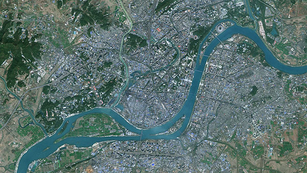
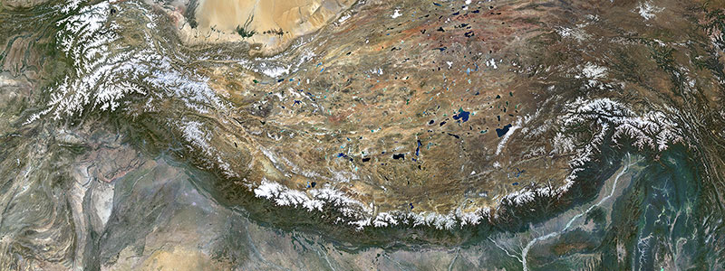
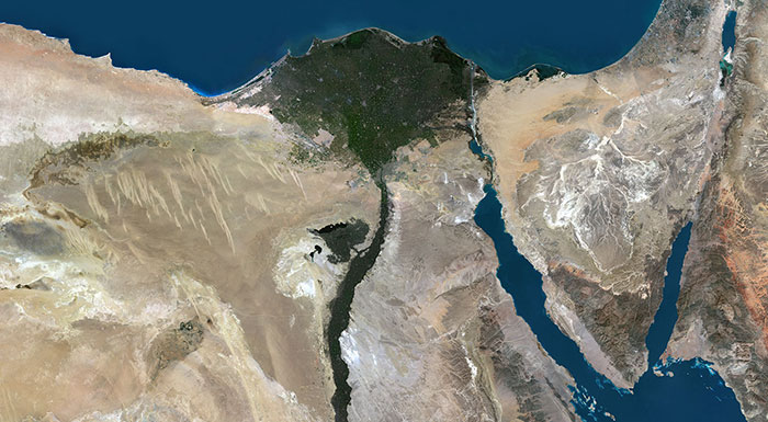
This isn't some poetic term for dreamy landscapes in a novel. It's the pictures and visuals our space-faring robot camera (the satellite) sends back to Earth. Move over, Instagram!
Not your garden-variety bathroom tile art. A mosaic in our world is like a jigsaw puzzle of images. We take lots of little pictures and fit them together to create a big, beautiful masterpiece.
The background of a map, sort of like the stage for a theatrical performance. All the other data prance around on top of it.
Imagine Earth throwing on a 3D outfit filled with hills, mountains, and valleys. Now, DEM Data is like Earth's personal stylist, giving you the details on every fold, crease, and contour of that outfit. It's the topographical tape measure that says, "Oh, here's a mountain peak! And there's a scenic valley dip!"

Ever tried to read a sign through a foggy window? High resolution is like having superhero glasses that clear that fog, letting you see every letter, even the fine print– it's the world in HD!
A pixel is like a grain of sand on a digital beach. Gather enough, and voila! A picture appears.
Latitude and longitude. Or as I like to call them, the "GPS coordinates of your next vacation destination." You're welcome!
No, it's not about predicting the future. In the world of mapping, projection is all about taking our round, basketball-like Earth and flattening it out so it fits on a flat screen or piece of paper.
Imagine trying to wrap a gift that's shaped like a globe. Tricky, right? You'd have to do some folding, bending, and maybe even a little smoothing to make the wrapping paper fit. That's what projection does with maps. It's like taking that wrapping paper and laying it out flat. Think about it, there are countless ways you could wrap that globe, and each way would give the wrapping paper a different shape.
It helps us take the round, three-dimensional Earth and translate it into flat, two-dimensional maps. And no, despite what it might look like on your screen, the Earth isn't flat (sorry to all the flat-Earthers out there!).
These are the boxes we pack our images in. Some are fancy, some are simple, but they all get the job done.
And there you have it, a whirlwind tour through PlanetObserver's geospatial technical terms with a dash of humor. Now go forth and impress your friends with your newfound jargon-juggling skills! And remember, if anyone asks what a "satellite imagery mosaic" is, just wink and say, "It's like a space selfie for Earth!" 🌍🛰️