Celebrating the 30th Anniversary of PlanetObserver
Thirty years ago, PlanetObserver was founded with the goal of mapping the Earth to understand our planet better.

CLERMONT-FERRAND, France – November 25, 2019 – PlanetObserver is a European provider of value-added geospatial data and satellite imagery for civil and military solutions used in various industries, ranging from Defense to GIS solutions and webmapping.
Thirty years together
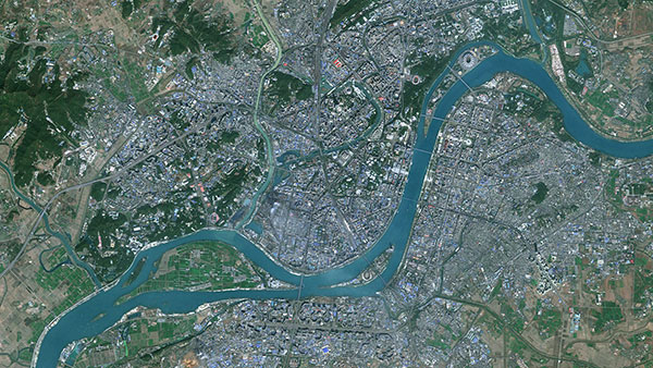
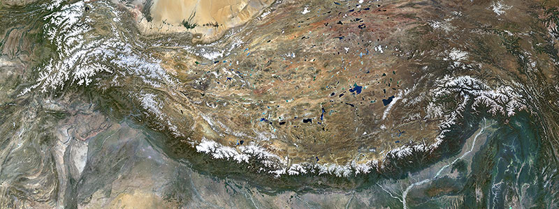
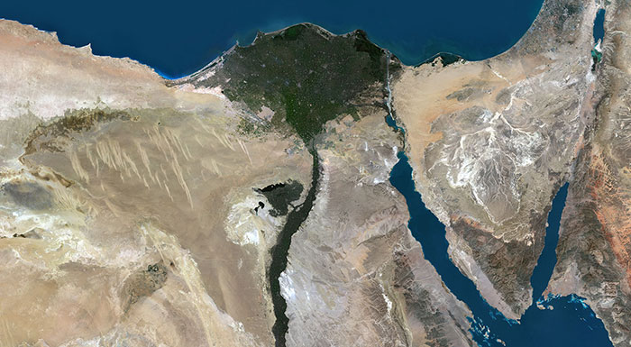
Thirty years ago, PlanetObserver was founded with the goal of showing the Earth as it is in reality to understand our planet better. Over the years, we have produced natural color imagery mosaics covering regions, then countries, continents and finally the whole planet. Today, we remain firmly committed to this goal and we keep on developing products that help getting a better understanding of our environnement at the global scale.
We’re totally driven by the beauty of our planet Earth that we keep on rediscovering every day.
« When I first looked back at the Earth standing on the Moon, I cried », said Alan Shepard, American astronaut. In 1961, he became the first American to travel into space, and in 1971 he walked on the Moon.
We are moved by the same emotion, even though we don’t burst into tears everytime we process imagery!
Your geospastial data experts
We position ourselves as the expert in geospatial data that maximize the visual excellence of our customers’ projects and solutions. We don’t go for the easy path of fully automated production processes or make compromises with visual quality.
Today, our geospatial data solutions serve very diversified market segments, from webmapping to Inflight Entertainment, GIS to modeling and simulation solutions and flight planning apps. We’re happy and proud to offer high quality imagery and elevation products that participate in a better knowledge of the planet Earth.
As we look back, we would like to thank NASA, ESA, and all our customers and partners for believing in what we do. We appreciate your continued support and look forward to an exciting future together.


